Map · 2026
Wollongong Trails
A painted 3D map of Wollongong's mountain bike trails on the Illawarra escarpment, with a route planner that finds the most singletrack between two points.
- Year
- 2026
- Role
- Design and development
- Status
- Live
- Platform
- Browser
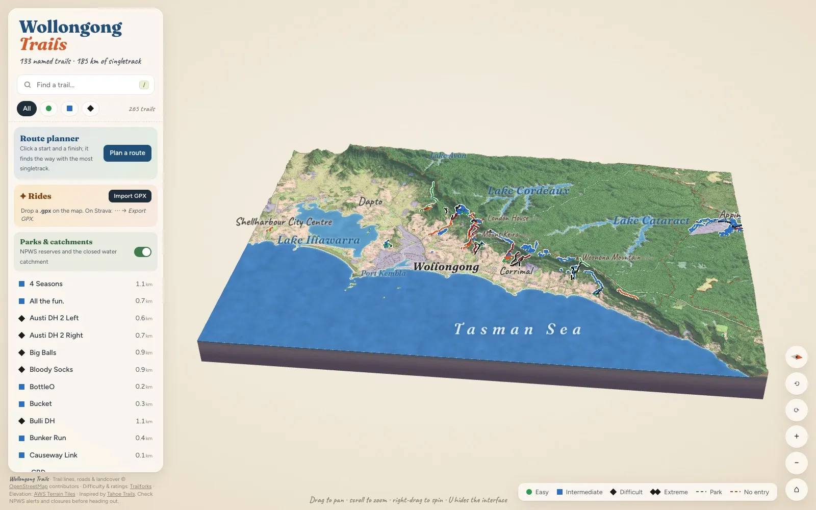
The escarpment as a diorama #
The Illawarra from Otford and Stanwell Park down to Lake Illawarra, painted as a 3D slab you can pan, spin and zoom. 133 named trails and 185 km of singletrack are drawn on it, coloured by difficulty.
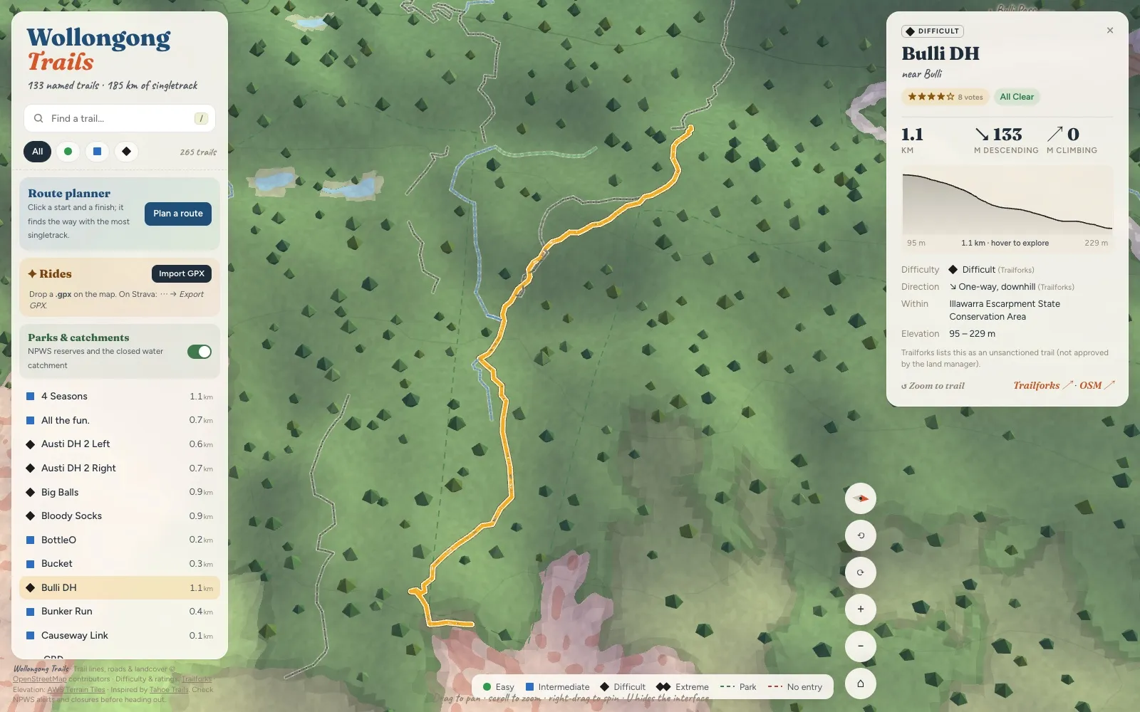
Every trail has a card #
Search for a trail or click one on the map to see its length, climbing and descent, an elevation profile you can trace along the map, its difficulty, which way it’s ridden, its rating and the park it’s in.
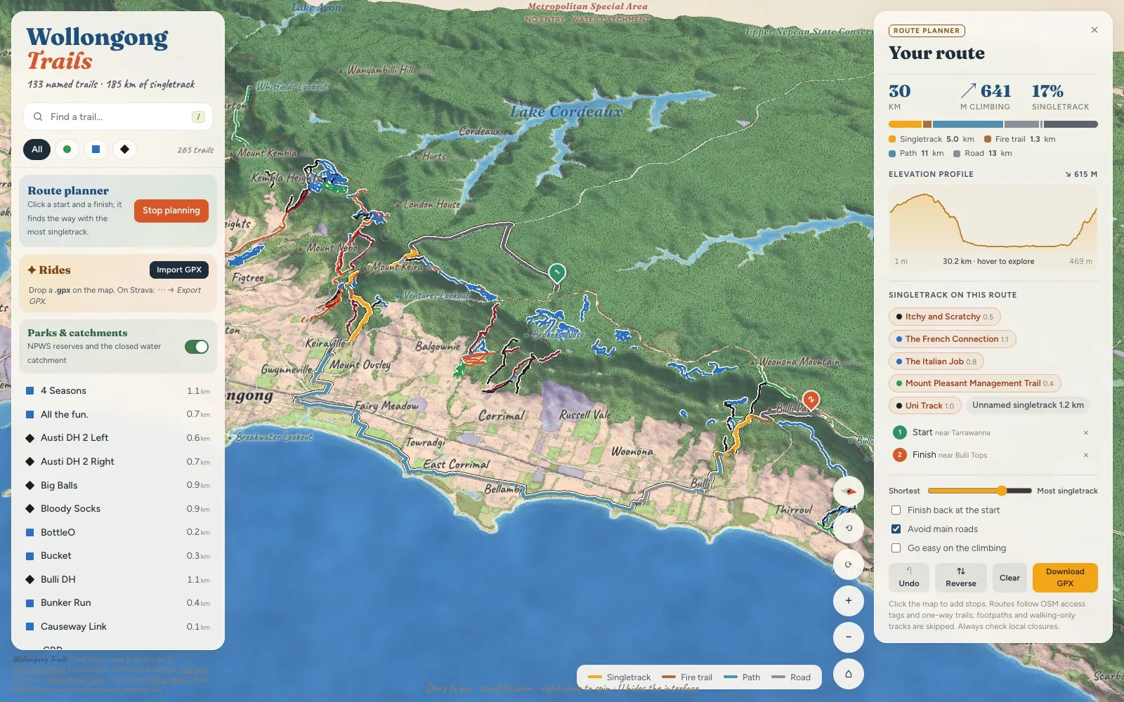
Routes that find the singletrack #
Click a start, a finish and any stops in between, and the planner finds the way with the most singletrack. It only uses ways a bike is allowed on, and never rides a one-way trail the wrong way when there’s another way through. A slider trades singletrack against distance, and the route can avoid main roads, go easy on the climbing or loop back to the start. Download it as a GPX when you’re done.
Replay your rides #
Drop in a GPX from Strava and the map draws the ride on with a follow camera and lists the trails you rode. Imported rides stay in your browser.